🧭
Territorial analysis
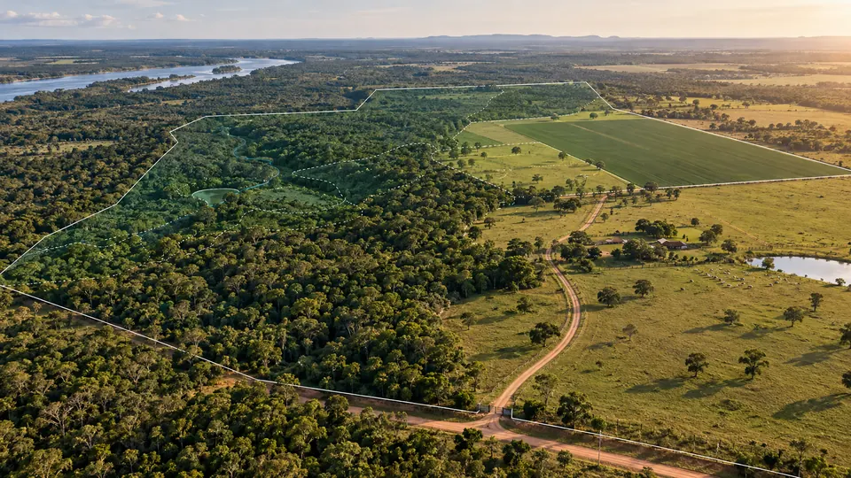
Data, maps, cover, land use and preliminary signals to guide assessment.
For landowners at CARBONPY: technical, documentary and commercial coordination for environmental projects in Paraguay.
Each stage is organized around verifiable information, access controls and defined responsibilities for landowners, buyers and partners.
Data, maps, cover, land use and preliminary signals to guide assessment.
Rights, evidence, status, files and permissions organized under controlled access.
Commercial preparation, due diligence, RFQ, negotiation and connection to institutional demand.
Territorial and documentary review aligned with the project objective.
Methodology, rights, baseline, work plan and responsibilities.
Measurement, monitoring, reporting, documentation and preparation for verification.
Buyers, commercial terms, due diligence and the next stage.
No. Eligibility, volume, price and timeline depend on technical analysis, methodology, validation, verification, registry and market conditions.
No. Structuring an environmental project does not by itself transfer ownership. Project rights are defined contractually.
Coordinates, documents and sensitive data are shared only according to authorization, necessity and access rules.
INFONA · MADES · World Bank · UNFCCC
Privacy, confidentiality and access control are part of CARBONPY’s architecture.